Good evening,
We’re so delighted to announce you the latest update to Coordinates App
Coordinates 6.0

Let’s go through all big new features
Export / Import feature with Airdrop support (Including GPX format)

Access this menu by going to “Coordinates list” menu first. We moved the button to the top to make it a lot easier to see.

You may import/export current coordinates list between iOS devices. by attaching exported txt/gpx file, copy paste raw text file, transfer via Airdrop, and more.
Yes! .gpx file support is here!

Export .gpx file to other apps, Garmin GPS, and more. And you may import the coordinates back into the app too!
import data tutorial
By the way, let’s go through how the app can import .gpx file
Here is how the app see .gpx file or supported .txt file in email app

Once you tap on the file, you may need to tap on the “Open in” button again

and then select Coordinates app.

You may need to swipe to the right if you can’t find coordinates app

After that, press “Import data” to begin importing data.
You will have option to choose between replacing all existing coordinates or append to existing list.
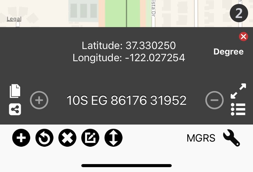
Quick pin navigation
Main focus here is the new grey “Pin Navigation Bar”.

Press arrow buttons to browse between selected pin. Pin name is shown on the middle, and you may edit pin informations by pressing on it.

You no longer have to go to the list menu to edit pin name.
If you wish to change pin format. you may do that by selecting new format first then press overwrite result.

Just like that, no need to drop pin again to make change!
Distance measurement

Press ruler button to begin distance measurement.
Then you may measure distance between pin or just draw your own line
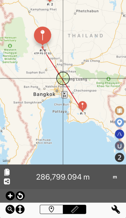
It just works. Just like Area app!
*Version 6.0 doesn’t yet support saving of distance data.
And there are a lot more features Please check change logs down below.
We will keep the same subscribe pricing probably until we finish implementing distance measurement feature.
As usual, if you subscribe now, you get the same price forever!
Closing note:
It’s been a busy August for us. Many weeks of lacking sleep, but we’re very happy with the result. We’ve done coding Elevation 4.0 and Coordinates 6.0. And we believe both update are really awesome.
Most importantly, we hope you will enjoy using the app as well!
Have a great day,
Apikrit
Version 6.0 Full Change log
[New features]
Export / Import feature with Airdrop support (Including GPX format)
- Export current coordinates list to e-mail attachment and many more.
- Custom made XML format with all information and standard GPX format.
- Import .txt created previously to migrate or backup coordinates data between device.
- Open gpx file and .txt (made by this app) from e-mail, Files app, and many more.
- Share current coordinates list via Airdrop
- Append to existing coordinates list (also check for duplication) or start over.
Quick pin navigation
- Go to previous/next pin
- Rename pin directly on the map screen
- Overwrite pin result (Change format)
Distance measurement
- Measure distance between pin points
- Add your own line
- Share result of current measurement
*For current version. Distance measurement is temporary. It will not be saved.
Additional optimisation
- Double warning for map screen Delete All button. To precent accident deletion.
- Updated UI for above feature sets
- More stand-out Save/Load and Import/Export button in list menu
- Share secondary coordinates
- Tweeked list menu
[Bug fix]
Fixed layout issue which caused crash when rotating the device
Fixed bad translation on few texts
Fixed bad button positioning
Fixed overlapping label on big view.