Over the past few months, we’ve made huge progress on our iOS apps — from UI redesigns to better localization and new features. Now it’s time to bring that same energy to Android!
We currently have 4 apps live on Google Play:
Coordinates
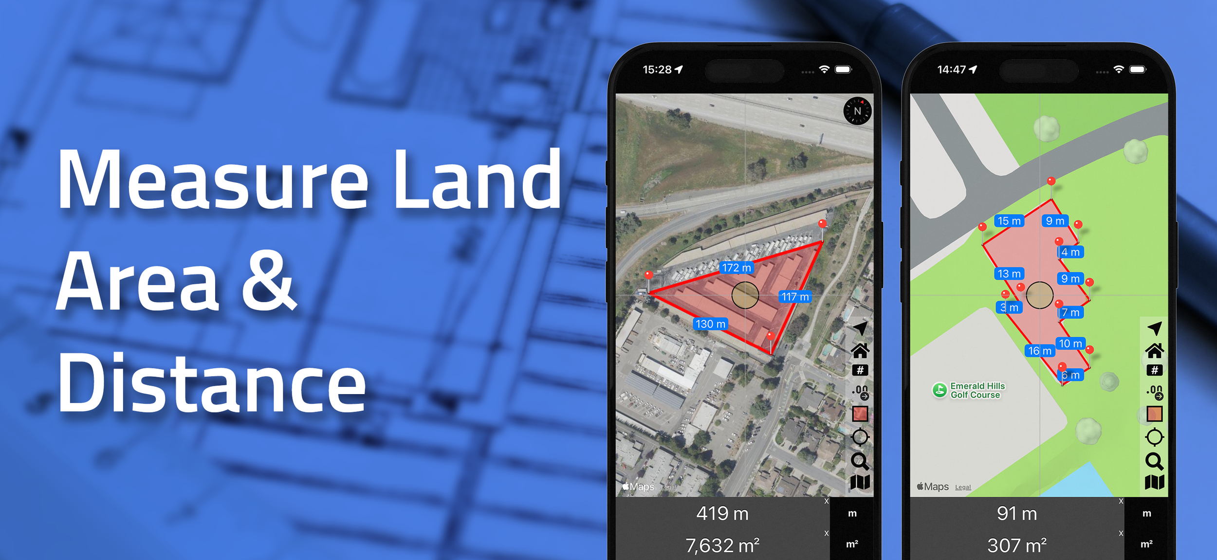
Distance
Elevation
BlastSim
While Elevation and BlastSim are built with Flutter and already optimized for modern devices, Coordinates and Distance needed some attention.
✅ We’ve just released updates that:
Fix layout issues where device corners and camera notches blocked key UI elements
Restore missing translations
Tweak and clean up misplaced UI components
📌 We’ve also officially sunset the Android version of InspireMe, which will no longer receive updates or support. Thank you to everyone who supported it over the years!
What’s Next for Android?
Quality-of-life first — Our top priority is ensuring smooth and stable performance. That means no crashes, no broken layouts.
After that, we’ll incrementally bring over the new iOS features, one step at a time.
If there’s anything you want us to expedite or prioritize, feel free to email us — we’d love to hear from you.
And honestly: we’d love to see more downloads on the Android side! More interest = more focus, faster progress.
Thanks for sticking with us — exciting updates ahead!